An inhabited island, not another beach club
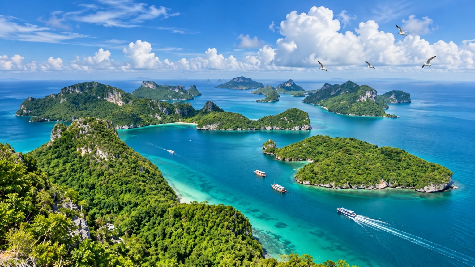
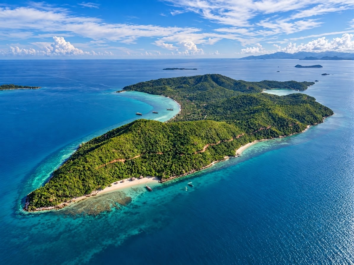
Part of Ang Thong Subdistrict in Ko Samui District, Koh Phaluai has village life as well as coves and limestone terrain. Some land is managed within the national-park area. Landings, walks and activities must respect community access and park rules; not every beach or track is publicly accessible.
Listen for hornbills above the village
Suratthani Rajabhat University's community guide describes naturally occurring hornbills around Koh Phaluai, with sightings noted near the island school. Quiet observation from a respectful distance is more valuable than chasing a flock. The presence of habitat is not a wildlife guarantee; follow local guidance and avoid drones or disruptive photography.
Fishers, sea-to-table cooking and fermented mullet
Small-scale fishing is part of the island's identity. A local-product survey documented pla krabok ra, preserved mullet made through a traditional process, as a distinctive community product. Visitors can learn about the food's origins and ask local hosts about the day's catch; particular dishes and seafood meals depend on availability and community arrangements.
A green-island project with a real energy story
The Provincial Electricity Authority documented a microgrid with 1,000 kW of solar generation, 1.935 MWh of storage and diesel backup generators in May 2026. The meaningful story is a remote island improving its energy resilience—not an unsupported claim of 100% carbon-free travel or electricity.
Beaches, viewpoints and a slower island rhythm
The university's field guide records Ao Song Phi Nong, Ao Thian, coastal scenery, caves and viewpoints. Conditions, landing rights and public access can change, so these are points of interest rather than a fixed checklist or guaranteed stops on any boat trip.
A community-scale stay rather than resort promises
The island has been promoted for low-key community-based visits and small local accommodation. Verify the host, room facilities, meals, transport and availability before planning an overnight stay. We cannot substantiate a blanket claim that the island has no hotels.
How to plan travel without relying on an old schedule
Passenger ferry information exists for the Don Sak–Koh Phaluai route, but published times and fares differ between the operator's pages. Check the exact sailing date directly with the operating carrier; do not confuse a mainland ferry with a Grand Sea Discovery speedboat excursion. Routes from Koh Samui are subject to sea conditions and confirmed operator arrangements.
Visit in a way that benefits the island
Choose community-led services where available, respect fishing gear and private homes, take litter back, reduce noise around wildlife and keep a distance from coral and marine animals. Enquire locally before entering a beach, school or energy facility. The most meaningful visit makes room for residents, not just photographs.
Four island forests, wild orchids and the trees behind local place names
Koh Phaluai is part of a wider limestone archipelago with distinct coastal and upland plant communities. The flora is best understood as a living ecology, not a list of guaranteed visitor sightings. The following records distinguish Phaluai itself from the Ang Thong park-wide plant inventory.


Botanical and wildlife species-reference photographs below were taken outside Koh Phaluai. They illustrate the documented taxa, not present-day sightings or precise plant locations on the island.
Beyond the beach: the forests behind the limestone
The national park records dry evergreen forest on the larger islands, explicitly including Koh Phaluai, on slopes and in sheltered gullies. Beach forest and limestone-cliff vegetation are also described across the archipelago: sea almond, sea hibiscus, tropical calophyllum, beach morning glory and hardy small plants inhabit different coastal niches. A park-wide species list is not a plot-by-plot census of Phaluai; the island deserves field observation rather than an invented complete checklist.
The Ang Thong slipper orchid: a delicate botanical emblem
The park's botanical account includes the orchid known locally as rong thao nari chong Ang Thong. Thailand's official botanical reference lists this name among the synonyms of Paphiopedilum niveum, a small, white-flowered lady's-slipper orchid associated with limestone habitats. Its presence on the archipelago's vegetation list must not be turned into a claim that a marked trail on Koh Phaluai hosts a viewable population, nor that the species exists nowhere else in Thailand. Photographing cultivated specimens is preferable to trampling delicate wild habitat or publicizing exact collection sites.
Mangroves in the eastern coves
The park specifically notes limited mangrove patches in some inlets along Koh Phaluai's eastern coast, with small-leaf mangroves prominent. Their root systems cope with waterlogged saline ground and create sheltered habitat that links the forest fringe to marine life. The patches are local and sensitive: neither an island-wide mangrove forest nor an unrestricted boardwalk should be assumed. This is a story to explore through quiet observation and community or park guidance.
Ao Thian: a bay named after a tree
An archived Green School account records an island student's explanation that the fourth bay was called Ao Thian because many 'thian' trees grew there. The same account described using the wood for axe handles. This rare connection between a place name, a community tree and practical knowledge is part of the island's identity. The folk name has not yet been matched reliably to a scientific species, so the guide intentionally does not assign a Latin name or promise any surviving tree can be visited.
A classroom spread across four bays
Koh Phaluai's school community used the island's four bays as outdoor learning spaces for solar power, waste management, mangrove conservation and care for Ao Thian's trees. A historic school building was adapted for environmental and clean-energy learning. This is a documented community education story, not a claim that guided school tours are currently open. Any visit would require current permission from the people responsible.
Six reasons Koh Phaluai stays with you
The reason to know Koh Phaluai is not a checklist of beaches. Here, limestone shores, a living fishing community, hornbill habitat and a rare island energy story meet in one landscape. Each chapter below separates documented places and traditions from access or wildlife encounters that still require local confirmation.
Botanical and wildlife species-reference photographs below were taken outside Koh Phaluai. They illustrate the documented taxa, not present-day sightings or precise plant locations on the island.A shoreline with its own landmarks
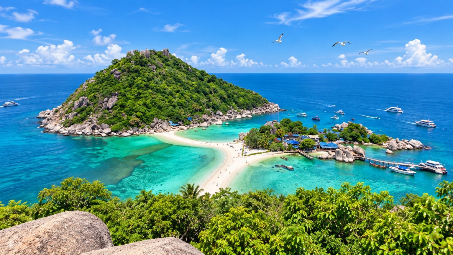
Surat Thani's provincial travel guide names the island's sandbar, Hin Lak rock, the fishing village at Ao Sam (Bay Three) and Ao Si (Bay Four) as points of interest. Suratthani Rajabhat University also documents Ao Song Phi Nong, caves and viewpoints. These names give the coast a geography of its own: sheltered bays, weathered limestone and shoreline shaped by tides. The list describes documented features, not a guaranteed landing route. A sandbar may be submerged, a cave may require guidance, and some shores belong to protected or community-managed areas. Photograph Ao Si beach, the tidal sandbar and the Hin Lak coastal landscape when conditions allow

A forest whose identity is the hornbill
The island's hornbills are more than an attractive photograph. Suratthani Rajabhat University recorded hornbills around village areas and near the island school; community projects later adopted the bird as a symbol of living with nature. Hornbills depend on trees for shelter and food, so the story belongs alongside the island forest and plant life. This is a place to listen, observe quietly and respect the community's knowledge—not a wildlife show with a sighting promised at a certain hour. Listen for hornbills quietly from areas recommended by the local community

Fishing is a way of life, not a themed restaurant
The coastal villages connect boats, everyday cooking and food preservation to the surrounding sea. A university community-product survey specifically identified pla krabok ra—traditionally preserved mullet—as a Koh Phaluai product. Its value lies in how the island's residents make use of their catch and pass knowledge between households. Seafood meals, fishers' access and demonstrations depend on consent and the day's conditions; a visitor should come ready to learn rather than expect a pre-arranged performance. Ask local hosts about fresh seafood and traditionally preserved mullet

From limestone trees to a bay named for a plant
The national park's vegetation account records dry evergreen forest on Koh Phaluai and mangroves in some eastern inlets. Its wider Ang Thong plant list includes the white lady's-slipper orchid known as rong thao nari chong Ang Thong; this is an archipelago record, not confirmation of a publicly accessible orchid site on Koh Phaluai. A Green School account gives an unusually personal detail: children described the abundance of 'thian' trees at Ao Thian and a traditional use for the wood. The local plant name is not enough to identify its scientific species without field evidence. Learn the story of Ao Thian and its coastal plants on authorised paths

The remarkable energy experiment behind the green island
Koh Phaluai's green-island identity has a practical history. Islanders and their school used bays as learning places for solar power, waste management, mangrove conservation and local trees. A May 2026 Provincial Electricity Authority report confirms a microgrid with 1,000 kW of solar generation, 1.935 MWh of storage and diesel backup generators. The meaningful claim is a transition toward more resilient island electricity, not that every journey is carbon-neutral or every facility open to visitors. Discover how solar power and battery storage support the island community

Why come—and what kind of journey makes sense?
Come for limestone shores, fishing traditions, hornbill habitats and island energy stories. Enquire with GSD about Koh Phaluai travel; tour details and prices will be updated after operator coordination.

Come for a different view of the Gulf of Thailand: not only what the island looks like, but the wildlife, trees, people and choices that make this place itself.

Why Phaluai? Three peaks and several island-name stories
Community accounts recorded by Suratthani Rajabhat University in 2016 connect the island name to three distinctive peaks, rising smoke, or an older name that sounded like 'Koh Ma Ruay'. These are parallel oral explanations rather than one verified origin.
Khao Ta Siem: the limestone profile of the island
The university's island travel record identifies Khao Ta Siem as a Phaluai landmark. Its distinctive limestone profile gives boat passengers a recognizable view of the island, without implying a public summit trail.
Tham Sam Bo and a world shaped by limestone
Suratthani Rajabhat University's route record names Tham Sam Bo Cave among Koh Phaluai's points of interest. The island's eroded limestone is part of the appeal, but access to caves needs local guidance and a fresh safety and permission check.
Ao Song Phi Nong: where the bay meets the reef story
Historical university route notes mention Ao Song Phi Nong and snorkeling in the surrounding area. It is a useful stop in the island's marine story, but snorkeling, park permissions, sea conditions and current access must be confirmed separately.
Ao Thian and a sandbar that changes with the tide
The university documents a tidal sandbar at Ao Thian toward Ko Hua Khang Thak, while Surat Thani province identifies Phaluai's parted sea as a photo highlight. Its appearance varies with tides and sea conditions; crossing should never be guaranteed.
A hilltop panorama between Ao Song and Ao Sam
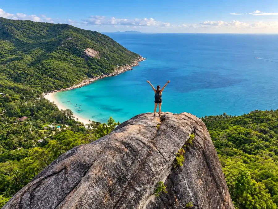
The university's travel record describes a former viewpoint trail associated with a local accommodation between bays two and three. The broad island panorama is an appealing part of Phaluai's story; current trail condition, ownership and permission remain unconfirmed.
Ao Sam and Ao Si: two different sides of Phaluai
Surat Thani's official travel guide names the fishing village at Ao Sam and Ao Si beach as island highlights. One introduces working coastal life; the other shows the shoreline. Landing and photographing residents depend on access and consent.
Phaluai after the day boats: a slower evening by the shore
An older university field account describes small accommodation and an evening beach atmosphere. It offers a different image of Phaluai from a rushed island-hop, but no particular lodging or overnight service is claimed to be operating today.
FAQ
Is Koh Phaluai the same as Ang Thong National Marine Park?
Koh Phaluai is an inhabited island in the broader Ang Thong island region. Community areas and protected park territory have different access and management requirements.
Can I see hornbills on Koh Phaluai?
Hornbills have been recorded on the island, but sightings are never guaranteed. Follow local guidance and keep your distance.
How do I get to Koh Phaluai?
Raja Ferry publishes a Don Sak connection, but online schedules differ. Confirm your date directly with the operator; a Samui speedboat visit requires its own verified arrangement.